_______________________________________________________________________________________________________
SOUTHERN CALIFORNIA SURF FORECAST UPDATED on 1-10-19
_______________________________________________________________________________________________________
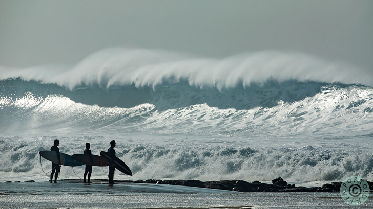
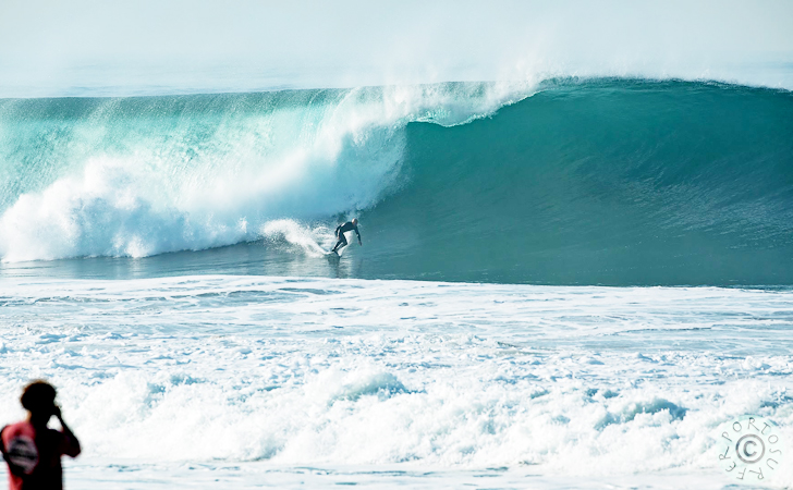
El Segundo Beach – Big Wednesday 1-10-19 – Shot by Lucio Gomes
El Segundo Beach – Big Wednesday 1-10-19 – Shot by Lucio Gomes
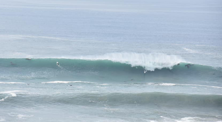
Palos Verdes – Big Wednesday 1-10-19 – Shot by Joel Saltzman
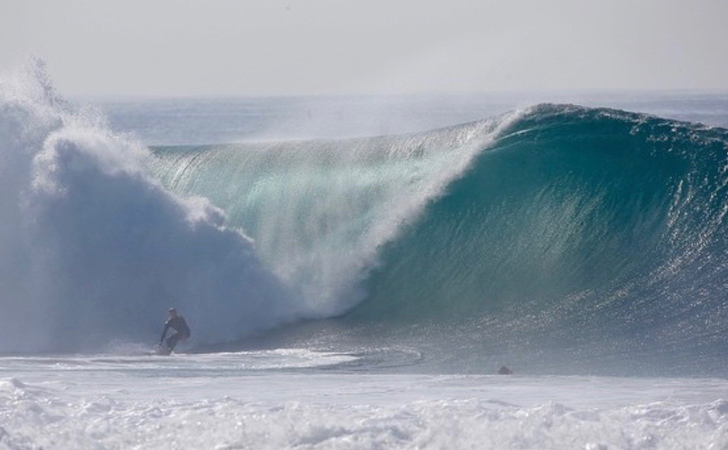
Redondo Beach – Big Wednesday 1-10-19 – Shot by Balzer
_______________________________________________________________________________________________________
For Friday morning it looks like we’ll get chance to catch our collective breath for a brief moment as the surf dips down into the Head High to OH zone. The swell will continue to roll in from 285-290 degrees with 12 second intervals.
*With what I’ve seen the last couple of days I would take the 4cast with a grain of salt and be prepared for some larger sneaker sets at the top West facing beaches. The gold rush continues people! Happy Hunting!
Friday
2019-01-11 Fri 01:06 AM 3.71 feet High Tide
2019-01-11 Fri 05:54 AM 2.64 feet Low Tide
2019-01-11 Fri 06:59 AM Sunrise
2019-01-11 Fri 10:30 AM Moonrise
2019-01-11 Fri 11:34 AM 4.26 feet High Tide
2019-01-11 Fri 05:04 PM Sunset
2019-01-11 Fri 06:50 PM 0.68 feet Low Tide
2019-01-11 Fri 10:18 PM Moonset
The conditions look good with variable breezes out of the East in the 2-6 MPH zone all day long. There’s a 10% chance of showers and the air temp holds at 63 degrees.
______________________________________________________________________________________________________
For Saturday morning we’ll see another swell fill in on the coattails of that last haymaker and this fresh energy will be no slouch either. The old swell will dip down into the Head High + zone and be in play for first light. The next bolt of swell will come in from a more Westerly 265-270 degrees with 12-14 second intervals and crank out OH to WOH sets as it fills in mid-morning, (possibly some larger scout sets earlier than that).
Saturday
2019-01-12 Sat 01:53 AM 3.83 feet High Tide
2019-01-12 Sat 06:59 AM Sunrise
2019-01-12 Sat 07:11 AM 2.65 feet Low Tide
2019-01-12 Sat 11:00 AM Moonrise
2019-01-12 Sat 12:26 PM 3.70 feet High Tide
2019-01-12 Sat 05:05 PM Sunset
2019-01-12 Sat 07:30 PM 1.06 feet Low Tide
2019-01-12 Sat 11:14 PM Moonset
The conditions look excellent with variable breezes out of the East at 7-10 MPH early and more mild 3-6 MPH whispers out of the East in the afternoon. There’s a 50% chance of AM showers and the air temp tops out at 61 degrees.
Beware of the Urban Runoff – It is advised to stay out of the water for 72 hours following any measurable rainfall. It’s always a roll of the dice, especially after a major downpour. The threat of getting sick is very real, so if you do insist on taking the plunge be sure to use ear plugs and upon exiting the ocean rinse off in hot water, use some alcohol based ear drops, and a nasal netti pot rinse for good measure never hurt anybody.
______________________________________________________________________________________________________
For Sunday morning we’ll see continued solid surf and the West facing beaches will dish up OH to WOH sets, (with a few larger waves sneaking in and pouncing on the complacent surfer). There’s so much swell bopping around out there that you’ll need to keep your head on a swivel if you plan on tackling a West facing beach!
Sunday
2019-01-13 Sun 02:42 AM 4.03 feet High Tide
2019-01-13 Sun 06:59 AM Sunrise
2019-01-13 Sun 08:55 AM 2.43 feet Low Tide
2019-01-13 Sun 11:30 AM Moonrise
2019-01-13 Sun 01:48 PM 3.17 feet High Tide
2019-01-13 Sun 05:05 PM Sunset
2019-01-13 Sun 08:17 PM 1.42 feet Low Tide
2019-01-13 Sun 10:46 PM First Quarter
The conditions look great in the AM with variable breezes out of the East at 2-6 MPH all day long. There’s a 30% chance of showers and the air temp tops out at 63 degrees.
Beware of the Urban Runoff – It is advised to stay out of the water for 72 hours following any measurable rainfall.
______________________________________________________________________________________________________
For Monday morning the surf should start off in the head high to OH zone early, (for the best West facing breaks), and we’ll see yet another significant swell roar into town in the afternoon/early evening. This fresh energy will come down the line from a 295-300 degree angle with 19-20 second intervals and is projected to get up to DOH + for Tuesday morning.
Monday
2019-01-14 Mon 12:10 AM Moonset
2019-01-14 Mon 03:30 AM 4.33 feet High Tide
2019-01-14 Mon 06:59 AM Sunrise
2019-01-14 Mon 10:31 AM 1.90 feet Low Tide
2019-01-14 Mon 12:02 PM Moonrise
2019-01-14 Mon 03:46 PM 2.87 feet High Tide
2019-01-14 Mon 05:06 PM Sunset
2019-01-14 Mon 09:12 PM 1.73 feet Low Tide
The conditions look fantastic with blustery, offshore breezes at 6-12 MPH all day long. The air temp tops out at 60 degrees and there’s a 70% chance of rain.
Beware of the Urban Runoff – It is advised to stay out of the water for 72 hours following any measurable rainfall.
______________________________________________________________________________________________________
For Tuesday morning the new swell will pound the West facing breaks and continue to roll in from that 295-300 degree angle with impressive 18 second intervals. The exposed West facing breaks will see OH to DOH + sets with the possibility of some death sets mixed in. Should be solid all day long with the size remaining in the daunting zone.
Once again… find a spot that suits your ability level. Every nook and cranny up and down the coast should have an “Open for Business” sign hung in the window. The sheltered spots should deliver as well so get out there and sniff around!
Tuesday
2019-01-15 Tue 01:09 AM Moonset
2019-01-15 Tue 04:16 AM 4.72 feet High Tide
2019-01-15 Tue 06:59 AM Sunrise
2019-01-15 Tue 11:36 AM 1.19 feet Low Tide
2019-01-15 Tue 12:36 PM Moonrise
2019-01-15 Tue 05:07 PM Sunset
2019-01-15 Tue 05:30 PM 2.92 feet High Tide
2019-01-15 Tue 10:12 PM 1.94 feet Low Tide
The conditions look crazy good wind models are calling for 8-18 MPH winds out of the East all day long. There’s a 60% chance of rain and the air temp holds at 60 degrees.
Beware of the Urban Runoff – It is advised to stay out of the water for 72 hours following any measurable rainfall.
______________________________________________________________________________________________________
Water temps are as follows, (day of 4CAST update) and are as follows: Malibu 59 Santa Monica 59 South Bay 57, Huntington 56, Newport 60.
______________________________________________________________________________________________________
The next 4CAST will be posted on Friday!
______________________________________________________________________________________________________
ABOUT THE SWELLMAGNET FORECAST – One of the most exciting–and yet most challenging–aspects of surfing is the sheer variety of waves and weather conditions that affect the entire surfing experience. Any surfer who is interested in going beyond the most basic level of surfing will have to develop the ability to interpret waves and environmental conditions. This is important for ensuring both a safe and enjoyable experience.
The main difficulty lies in predicting how exactly the ocean and the environment will behave at any given time. One day, you could be riding four-footers all day and the next, you might be facing a glasslike surface with nary a ripple. Conditions can change drastically from day-to-day and even within the space of a couple of hours. To avoid wasted time and unproductive trips to the surf, it is essential to have access to reliable information on surf conditions.
Sites such as Swellmagnet.com offer up-to-the-minute surf reports that are essential to all California surfers. The company relies on an extensive network of surf cams and surf experts in order to monitor the precise surf conditions on any given day. All information is collated and analyzed by qualified surf specialists, with the resulting data being provided to the public via the Swellmagnet site.
Swellmagnet provides some of the best surf reports in the industry, with accurate and verifiable results gathered via an innovative system of surf condition monitors and detectors. Expert surf analysis is provided by the company’s team of highly experienced specialists, each with long years of experience monitoring and actually experiencing the full range of surf conditions. This combination of state-of-the-art technology and extensive practical experience ensures the highest quality and most accurate surf reports available.
For surfers who wish to take full advantage of the best that the California coast has to offer, the services provided by Swellmagnet are essential.


