_______________________________________________________________________________________________________
SOUTHERN CALIFORNIA SURF FORECAST UPDATED on 7-21-2019 <
______________________________________________________________________________________________________
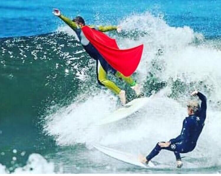
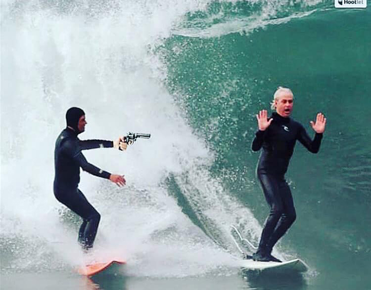
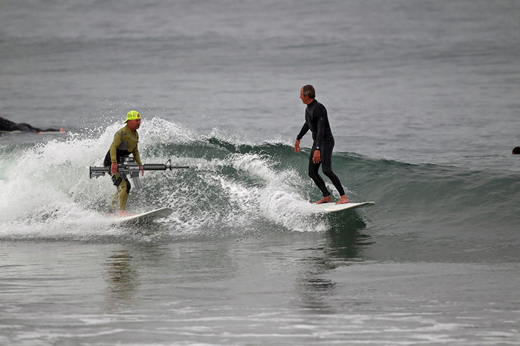
The Snake Gallery: Tomas snaking Jules, Tom snaking Flavio and Joel snaking me.... watch out you never know when you'll be caught!

HURRICANE WATCH: Tropical Development likely southwest of Mexico
While there are currently no tropical systems across the Eastern Pacific, development is likely within the next few days.
A cluster of thunderstorms associated with a tropical wave and developing low pressure area is currently centered several hundred miles to the south-southwest of the southern tip of Baja California. This disturbance is moving through an area of low wind shear and warm waters, which is conducive for further organization and development. A tropical depression or storm is likely to form within the next day or two.
Nothing etched in stone so stay tuned!
______________________________________________________________________________________________________
For Monday morning we will remain in the listless knee to waist high zone. Looks like a nice beach day but manufacturing any legit surfing will be a tough task!
Monday
2019-07-22 Mon 12:30 AM 4.49 feet High Tide
2019-07-22 Mon 05:58 AM Sunrise
2019-07-22 Mon 07:35 AM 0.81 feet Low Tide
2019-07-22 Mon 11:07 AM Moonset
2019-07-22 Mon 02:27 PM 4.08 feet High Tide
2019-07-22 Mon 07:53 PM 2.64 feet Low Tide
2019-07-22 Mon 08:02 PM Sunset
2019-07-22 Mon 11:39 PM Moonrise
The conditions look similar with variable 1-5 MPH winds out of the SW until noon and then 5-10 MPH out of the SW in the afternoon. The air temp tops out at 74 degrees.
______________________________________________________________________________________________________
For Tuesday morning we will see the start of some steeply angled South swell. This energy will come in from a sideways angle of 180-185 degrees with 14-16 second intervals and dish up inconsistent waist high + sets early and gain momentum throughout the day culminating in chest high sets for the most exposed South facing breaks. The OC and San O’ areas look to hold the most promise as most of the swell will extend its middle finger to the more Westerly facing beaches.
Tuesday
2019-07-23 Tue 01:17 AM 3.94 feet High Tide
2019-07-23 Tue 05:59 AM Sunrise
2019-07-23 Tue 08:10 AM 1.21 feet Low Tide
2019-07-23 Tue 12:01 PM Moonset
2019-07-23 Tue 03:12 PM 4.23 feet High Tide
2019-07-23 Tue 08:01 PM Sunset
2019-07-23 Tue 09:21 PM 2.52 feet Low Tide
The conditions look fair early with 1-3 MPH winds out of the W/SW until 10:00AM and then 6-11 MPH out of the SW in the afternoon. The air temp jumps up to 74 degrees.
______________________________________________________________________________________________________
For Wednesday morning we’ll see that South swell peak and although nothing spectacular it will put the most exposed South facing beaches in the waist to chest high zone on the sets. The angle will remain a steep 180-185 degrees with 14 second intervals.
Wednesday
2019-07-24 Wed 12:08 AM Moonrise
2019-07-24 Wed 02:25 AM 3.41 feet High Tide
2019-07-24 Wed 05:59 AM Sunrise
2019-07-24 Wed 08:50 AM 1.61 feet Low Tide
2019-07-24 Wed 12:57 PM Moonset
2019-07-24 Wed 04:00 PM 4.45 feet High Tide
2019-07-24 Wed 06:20 PM Last Quarter
2019-07-24 Wed 08:00 PM Sunset
2019-07-24 Wed 10:58 PM 2.15 feet Low Tide
The conditions look tolerable with 1-5 MPH winds out of the W/SW until noon and then 5-11 MPH out of the SW in the afternoon. The air temp bumps up another notch to 78 degrees.
______________________________________________________________________________________________________
For Thursday morning that swell will hold in the AM and start a slow fade into Friday. Once again, only the most exposed South facing breaks will see any action, think Huntington, Newport and the San O’ area. Just too steep rest of our So Cal Coastline. !80-190 degrees with 13-14 second intervals.
Thursday
2019-07-25 Thu 12:38 AM Moonrise
2019-07-25 Thu 04:11 AM 3.03 feet High Tide
2019-07-25 Thu 06:00 AM Sunrise
2019-07-25 Thu 09:39 AM 1.96 feet Low Tide
2019-07-25 Thu 01:54 PM Moonset
2019-07-25 Thu 04:48 PM 4.75 feet High Tide
2019-07-25 Thu 08:00 PM Sunset
The conditions look a little better with variable 4-9 MPH winds out of the S/SE/SSE until noon and then 6-9 MPH out of the SW in the afternoon. The air temp holds at 78 degrees.
______________________________________________________________________________________________________
For Friday morning we will dip into the waist high + zone, (for the top South facing breaks), and that will get smaller and less consistent with each passing set.
Friday
2019-07-26 Fri 12:13 AM 1.57 feet Low Tide
2019-07-26 Fri 01:11 AM Moonrise
2019-07-26 Fri 06:01 AM Sunrise
2019-07-26 Fri 06:04 AM 2.99 feet High Tide
2019-07-26 Fri 10:39 AM 2.23 feet Low Tide
2019-07-26 Fri 02:54 PM Moonset
2019-07-26 Fri 05:36 PM 5.13 feet High Tide
2019-07-26 Fri 07:59 PM Sunset
The conditions don’t change much with 2-5 MPH winds out of the South until noon and then 7-9 MPH out of the SW in the afternoon. The air temp dips a hair to 77 degrees.
______________________________________________________________________________________________________
Water temps are as follows, (day of 4CAST update) and are as follows: Malibu 66 Santa Monica 69 South Bay 71, Huntington 67, Newport 70.
______________________________________________________________________________________________________
The next 4Cast will be updated on Tuesday.
______________________________________________________________________________________________________
ABOUT THE SWELLMAGNET FORECAST – One of the most exciting–and yet most challenging–aspects of surfing is the sheer variety of waves and weather conditions that affect the entire surfing experience. Any surfer who is interested in going beyond the most basic level of surfing will have to develop the ability to interpret waves and environmental conditions. This is important for ensuring both a safe and enjoyable experience.
The main difficulty lies in predicting how exactly the ocean and the environment will behave at any given time. One day, you could be riding four-footers all day and the next, you might be facing a glasslike surface with nary a ripple. Conditions can change drastically from day-to-day and even within the space of a couple of hours. To avoid wasted time and unproductive trips to the surf, it is essential to have access to reliable information on surf conditions.
Sites such as Swellmagnet.com offer up-to-the-minute surf reports that are essential to all California surfers. The company relies on an extensive network of surf cams and surf experts in order to monitor the precise surf conditions on any given day. All information is collated and analyzed by qualified surf specialists, with the resulting data being provided to the public via the Swellmagnet site.
Swellmagnet provides some of the best surf reports in the industry, with accurate and verifiable results gathered via an innovative system of surf condition monitors and detectors. Expert surf analysis is provided by the company’s team of highly experienced specialists, each with long years of experience monitoring and actually experiencing the full range of surf conditions. This combination of state-of-the-art technology and extensive practical experience ensures the highest quality and most accurate surf reports available.
For surfers who wish to take full advantage of the best that the California coast has to offer, the services provided by Swellmagnet are essential.

This Surf Forecast is brought to you by Anderson Surfboards!


